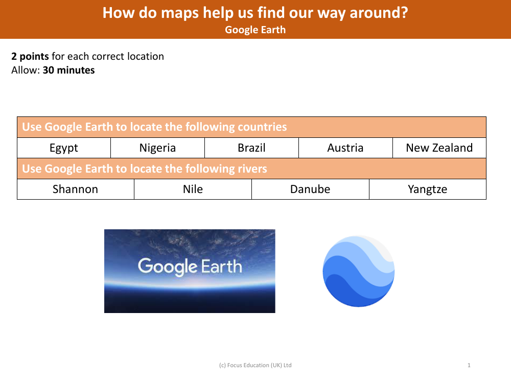
Locate these countries and rivers on Google Earth
Geography Resource Description
Maps, including digital ones like Google Earth, serve as essential tools for navigation and geographical understanding. They help us find our way around by providing a visual representation of our world, detailing the locations of countries, cities, natural features like rivers and mountains, and man-made landmarks. By using maps, we can plan routes, understand the relative positions of places, and explore regions that are unfamiliar to us. Maps also help in educational contexts, allowing students to locate various countries and rivers as part of their learning process.
Google Earth, in particular, is an interactive platform that enables users to virtually explore the Earth's surface with satellite imagery, aerial photography, and GIS data. It allows individuals to locate specific countries such as Egypt in North Africa; Nigeria in West Africa; Brazil in South America; Austria in Central Europe; and New Zealand in the southwestern Pacific Ocean. Additionally, users can find major rivers like the Shannon in Ireland; the Nile, which flows through several countries in Northeast Africa; the Danube, which passes through multiple European countries; and the Yangtze, located in China. By providing detailed and accurate geographical information, Google Earth makes it easy to score points in educational exercises and deepen our understanding of the world's geography.