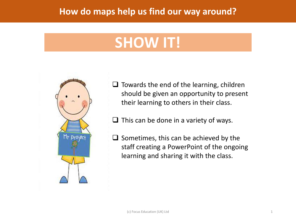
Show it! Group presentation - Mapping - Year 6
Geography Resource Description
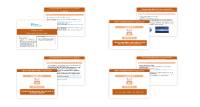
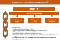
At the culmination of their mapping studies, Year 6 students are encouraged to showcase their understanding by giving presentations to their classmates. This activity not only reinforces their learning but also hones their public speaking and collaboration skills. The presentations can be conducted in various formats, and sometimes they might include a PowerPoint created by the teaching staff that encapsulates the ongoing learning journey of the students. This visual aid serves as a shared resource to facilitate the exchange of knowledge and ideas within the classroom.
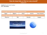
The children are organised into small groups, with no more than six members in each, to foster an environment of teamwork and peer learning. These groups are tasked with creating a presentation on a specific mapping tool or concept, such as Digimap, Ordnance Survey (OS) maps, Google Earth, time zones, or the OS maps app. Through these presentations, the students explore and explain the myriad ways maps assist us in navigating the world around us. They might start their presentation with a greeting like "Good Morning," followed by a captivating introduction to the topic they have researched and prepared. This exercise not only deepens their understanding of geographical tools but also enables them to effectively communicate the importance and functionality of maps in everyday life.