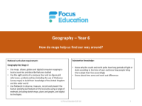
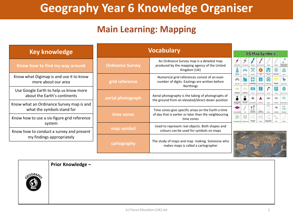
Knowledge organiser - Mapping - Year 6
Geography Resource Description
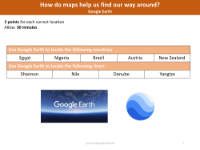
The Year 6 Geography knowledge organiser on 'Mapping' provides students with a fundamental understanding of various aspects of cartography and geographical orientation. It builds upon prior knowledge that the students may have acquired in previous years. The vocabulary section introduces key terms such as 'Ordnance Survey', which refers to the detailed maps produced by the UK's national mapping agency. Students also learn about 'grid references', a system that uses a combination of eastings and northings to pinpoint locations on a map, and 'aerial photographs', which are images captured from above the ground that provide a unique perspective of the landscape.
Additionally, the concept of 'time zones' is explained, highlighting how different regions on Earth have varying times of the day. The term 'map symbol' is introduced to describe the icons used on maps to represent real-world objects, with an emphasis on the significance of shapes and colours. 'Cartography', the study and practice of map-making, is also defined, and students are made aware that a professional who creates maps is known as a cartographer. The key knowledge section outlines essential skills such as navigating using a map, understanding and utilising digital mapping tools like Digimap and Google Earth, recognising Ordnance Survey map symbols, and employing a six-figure grid reference system. Students are expected to know how to conduct geographical surveys and present their findings effectively.