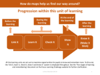
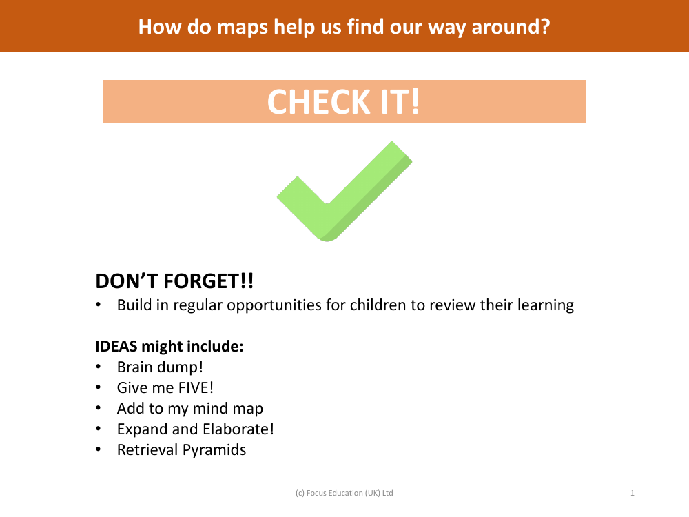
Check it! - Mapping - Year 6
Geography Resource Description
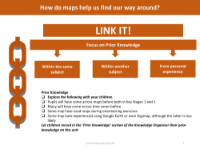
Maps are essential tools that guide us in navigating our surroundings, providing a visual representation of the environment to help us locate places and plan routes. To reinforce the understanding of how maps are used, teaching strategies for Year 6 students could include a variety of review techniques. For instance, a 'Brain dump' allows children to quickly jot down everything they remember about maps, while 'Give me FIVE!' could involve naming five types of maps or five examples of Ordnance Survey (OS) symbols. Adding to a mind map encourages students to connect new information with what they already know, and 'Expand and Elaborate' might prompt them to explain the importance of time zones or the precision of a six-figure grid system.
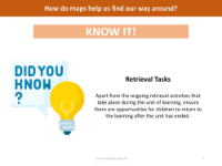
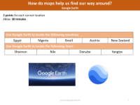
Interactive activities such as 'Retrieval Pyramids' can help students recall and organise their knowledge in a structured way. Questions might explore the functionality of tools like Google Earth, the significance of OS symbols, or the concept of time zones and their impact on global timekeeping. For instance, students could be asked to identify the OS symbol for a church, explain what a relief map is, or determine the truth of statements regarding time differences between countries. These activities aim to ensure that all pupils are able to answer questions about maps, with more challenging tasks provided for those ready to delve deeper into the subject. Such exercises not only test students' knowledge but also demonstrate the practical value of understanding and using maps in everyday life.