Long-term overview - Mapping - Year 6
Geography Resource Description
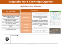
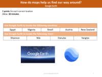
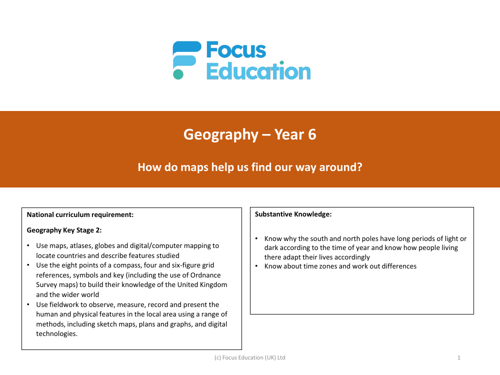
The Year 6 Geography curriculum provides students with an extensive understanding of mapping and its practical applications. It adheres to the National Curriculum requirements for Key Stage 2, which include the use of various geographical tools such as maps, atlases, globes, and digital mapping technologies like Google Earth and Digimap. These resources enable students to locate countries and describe their features, as well as to understand and use the eight points of a compass, grid references, and map symbols. Additionally, pupils learn to conduct fieldwork, gathering data to observe and record the human and physical features of their local area, which they then present through different methods including digital technologies.
Substantive knowledge gained during the year includes understanding the seasonal variations at the poles and the adaptations of the people living there, as well as comprehending global time zones. Disciplinary knowledge focuses on geographical skills and fieldwork, equipping students with the ability to use digital tools to locate places and study geographical features like rivers, understand topographical maps and contours, and use six-figure grid references with precision. They will also learn about latitude and longitude, set up and conduct geographical enquiries, create map displays, and use digital mapping software with confidence. A specific emphasis is placed on understanding Ordnance Survey maps and interpreting their symbols, ensuring that students are well-prepared to navigate the United Kingdom and the wider world with a robust set of mapping skills.
