Geography - Year 2 - Focus Education
What does the Year 2 scheme cover?
Focus Education prioritises equipping teachers with the essential tools to deliver exceptional Geography lessons, ensuring remarkable outcomes for pupils. This approach not only cultivates an understanding of where places are and how landscapes are formed, but also fosters a lasting appreciation and deep understanding of how the earth’s physical features and atmosphere can be shaped and impacted by human activity.
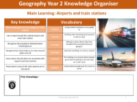
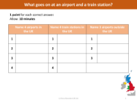
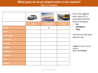
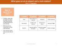
Airports and Train Stations
Explore the operations of both local and national airports and train stations during this unit. Examine the significance of passports, understanding their importance in travel. Investigate various jobs associated with air and train travel, recognising how each role contributes to the efficient functioning of services. Utilise both a world map and a globe to illustrate the extensive reach of travel possibilities, showcasing how people can journey to almost any part of the world.
Key questions answered:
- Where is your nearest airport and train station?
- Why do we have to follow certain procedures when we travel by air?
- What types of jobs are associated with air travel and train travel?
- Where are some of the main airports in the world?
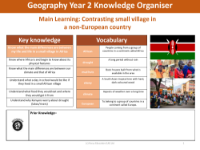
Non-European Contrast
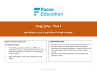
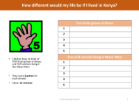
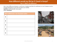
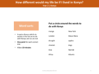
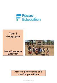
Examine the geographical position of Kenya in relation to the Equator and the UK, taking into account the climate and physical features. Compare the temperature and rainfall patterns throughout the year, and contemplate the experiences of living in a different climate. Investigate life in a Kenyan village, delving into the impact of drought on the community and explore diets associated with farming practices. Analyse these aspects during this unit and gain insights into how location and climate influence daily life, agricultural practices and the challenges faced by communities in different regions.
Key questions answered:
- Where is Kenya and what are its physical features? (recap hot and cold, continents)
- What are the main differences between our climate and that of Kenya?
- What would a day be like in a small African village?
- How different would our diets be if we lived in Africa?
- Why do Kenyans have to worry more than us about drought?
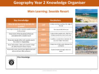
Seaside Study
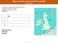
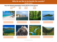
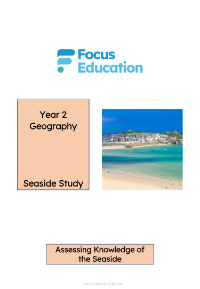
Begin this unit by examining the map of the United Kingdom, reinforcing pupils' knowledge of seaside resorts and exploring the reasons behind their locations, considering both human and physical features. Investigate the significance of seaside cafes and lighthouses in coastal areas. Delve into the role of lifeboats and the work of the RNLI (Royal National Lifeboat Institution).
By doing so, students can gain a deeper understanding of the geographical and human aspects of coastal regions, including the factors that contribute to the popularity of seaside resorts and the crucial roles played by life-saving organizations like the RNLI.
Key questions answered:
- Where are the nearest seaside resorts to our school?
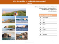
- What are some of the key physical features associated with a seaside resort?
- Why are hotels, cafes and souvenir shops often found in these resorts?
- Why do some resorts have lighthouses and almost all have RNLI presence?
What’s included for Year 2 teachers?
- Full Year 1 National Curriculum coverage
- Detailed lesson plans and presentations
- Visual knowledge organisers for each lesson
- Comprehensive assessment materials
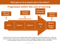
- Links to prior and future learning, progression maps & more!
