Travelling around London on the Underground
Geography Resource Description
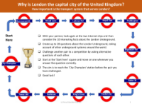
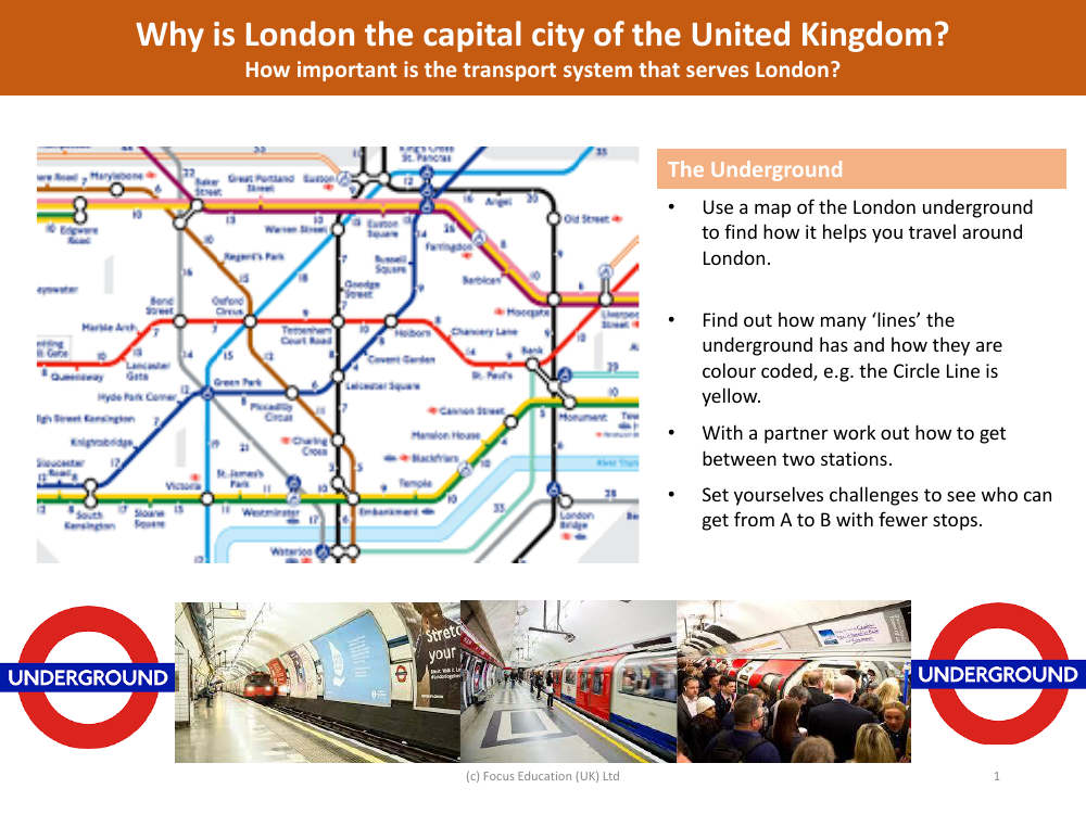
The London Underground is an essential transport network that offers an efficient way to navigate the sprawling cityscape of London. To make the most of this service, using a map of the London Underground is crucial as it assists travellers in plotting their routes and understanding the connectivity between various parts of the city. The map reveals the number of 'lines' that make up the system and how each line is distinctly colour-coded for easy identification, such as the Circle Line which is represented in yellow. Travellers can work with a partner to figure out the best way to travel between two stations, creating an engaging and practical exercise in navigation.
Exploring the London Underground further, individuals can challenge each other to find the quickest routes from point A to B with the fewest stops, turning the task of route planning into an entertaining and competitive activity. This aspect of the transport system highlights the significance of London's infrastructure and its role as the capital city of the United Kingdom. The efficiency and complexity of the transport system are key to the functioning of the city, underpinning its status as a major cultural and economic centre. Understanding and utilising the Underground is not only a practical skill for getting around but also offers insight into the importance of public transport in supporting the bustling urban life of the UK's capital.

