Max Maths, Year 4, Try it, Using a grid

Maths Resource Description
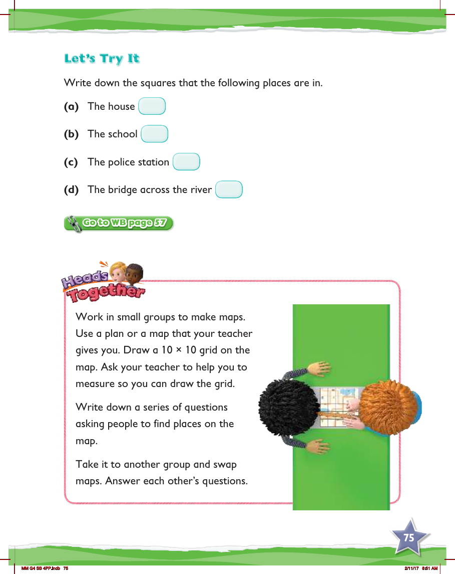
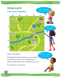
In the Max Maths Year 4 curriculum, there is an interactive activity aimed at teaching students how to use a grid to locate various places. The exercise begins with a simple task where students are asked to write down the grid references for specific locations such as a house, school, police station, and a bridge across a river. This foundational task helps them understand how to identify positions on a grid, which is a key skill in both geography and mathematics.
Moving on from individual work, the students then collaborate in small groups to create their own maps. They are instructed to draw a 10x10 grid over a plan or map provided by their teacher, ensuring accuracy in their measurements with the teacher's assistance. Once the grid is in place, each group devises a set of questions that challenge others to find various places on the map. To add an element of peer learning, groups swap their maps and attempt to answer the questions posed by their classmates. This engaging activity not only reinforces grid usage but also encourages teamwork, problem-solving, and communication among the students.


