Max Maths, Year 6, Learn together, Plotting coordinates (1)
Maths Resource Description
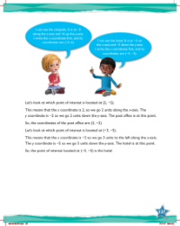
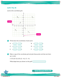
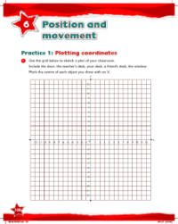
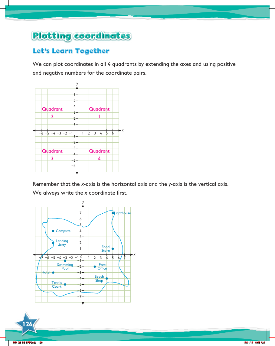
In the Max Maths Year 6 curriculum, students delve into the world of plotting coordinates, a fundamental aspect of understanding graphs and spatial relationships. The lesson introduces learners to the concept of plotting points across all four quadrants of a coordinate plane. The coordinate plane is expanded to include both positive and negative numbers, allowing for a comprehensive exploration of coordinate pairs. Students are taught to identify and use the x-axis, which runs horizontally, and the y-axis, which runs vertically. It's crucial for students to remember that when writing coordinate pairs, the x coordinate is always listed first, followed by the y coordinate.
The lesson not only covers the theoretical aspect but also incorporates practical examples that bring the concept to life. Students are presented with a coordinate grid that includes landmarks such as a Campsite, Swimming Pool, Hotel, Tennis Court, Lighthouse, Beach Shop, Post Office, Food Store, and a Landing Jetty. By plotting these points, students gain hands-on experience and visualize how each point is positioned in relation to the axes. This engaging approach helps to solidify their understanding of coordinates in a fun and meaningful context, preparing them for more complex mathematical concepts in the future.

