Locate on a map - Mountain regions of the USA
Geography Resource Description
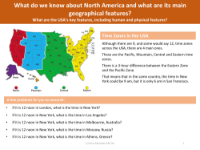
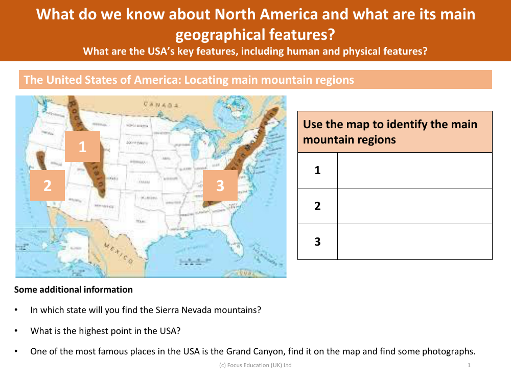
The United States of America is home to several prominent mountain regions, each with its unique characteristics and geographical significance. To understand the country's topography, one can use a map to locate these main mountainous areas. By identifying these regions on the map, one can appreciate the diverse landscapes that the USA has to offer. For instance, the Sierra Nevada mountains, a major range known for its breathtaking scenery and outdoor recreational opportunities, are located within the state of California. This range includes some of the most iconic natural landmarks in the country.
Among the towering peaks of the United States, the highest point is found in the state of Alaska. This peak, which stands as a testament to the vast and rugged wilderness of the region, is a significant feature of the American landscape. Additionally, one of the most renowned natural wonders in the USA is the Grand Canyon. By locating it on the map, one can explore the grandeur of this famous site, which has been shaped by geological processes over millions of years. Photographs of the Grand Canyon capture its immense size and the intricate patterns of its rock formations. To gain a broader understanding of North America, one can study its main geographical features, including the key human and physical features that define the USA's landscape and cultural identity.