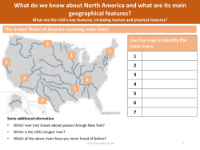
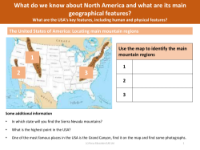
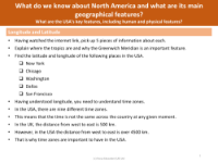
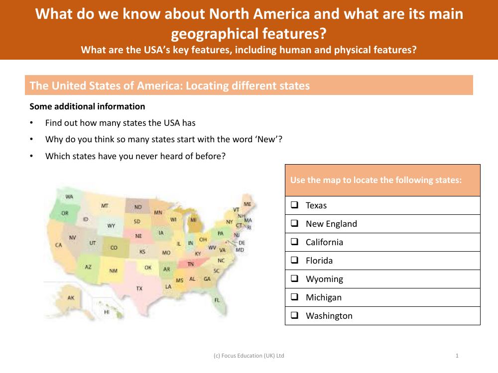
Locate on a map - States of the USA
Geography Resource Description
In an educational task designed to improve geographical knowledge, students are asked to identify and locate various states on a map of the United States of America. The states specified for this exercise include Texas, a vast state located in the southern region of the US; New England, which is not a single state but a region comprising six states in the northeastern corner of the country; California, known for its diverse landscapes and situated on the west coast; and Florida, a southeastern state famed for its warm climate and peninsula extending into the Gulf of Mexico and the Atlantic Ocean.
Additionally, students are prompted to find Wyoming, a state in the mountain region of the western United States; Michigan, known for its Great Lakes border and unique two-peninsula shape; and Washington, located in the Pacific Northwest, not to be confused with Washington D.C., the nation's capital. The activity also encourages students to explore broader questions such as the total number of states in the USA, the historical reasons behind the naming of states with the prefix 'New', and a prompt for personal reflection on states they may not have heard of before. To deepen their understanding of the continent, students are also asked to consider what they know about North America's main geographical features, as well as the key human and physical features of the USA.