Locate the lakes of the Lake District - Worksheet - Year 3
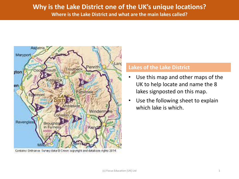
Geography Resource Description
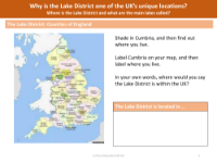
A worksheet designed for Year 3 students invites them to explore the geography of the Lake District, a renowned region in the UK known for its picturesque lakes and natural beauty. The task at hand is to use the provided map, along with other UK maps, to locate and identify the eight lakes that are signposted. The exercise is aimed at enhancing the students' map-reading skills and their ability to recognise and name significant natural landmarks. A supplementary sheet is included to assist in correlating each signposted lake on the map with its respective name, ensuring that students can clearly distinguish and label each one correctly.
The worksheet also prompts students to consider why the Lake District is regarded as one of the UK's unique locations. It encourages a discussion about the geographical setting of the Lake District and the names of its main lakes. This educational activity not only serves to familiarise students with the names and locations of the lakes but also to appreciate the significance of the Lake District as a natural treasure within the UK. By engaging with this exercise, students will gain a better understanding of the country's physical geography and the importance of preserving such areas of natural beauty.


