How can maps help us to find out about Blackpool and Blackburn? - Teacher's Notes

Geography Resource Description
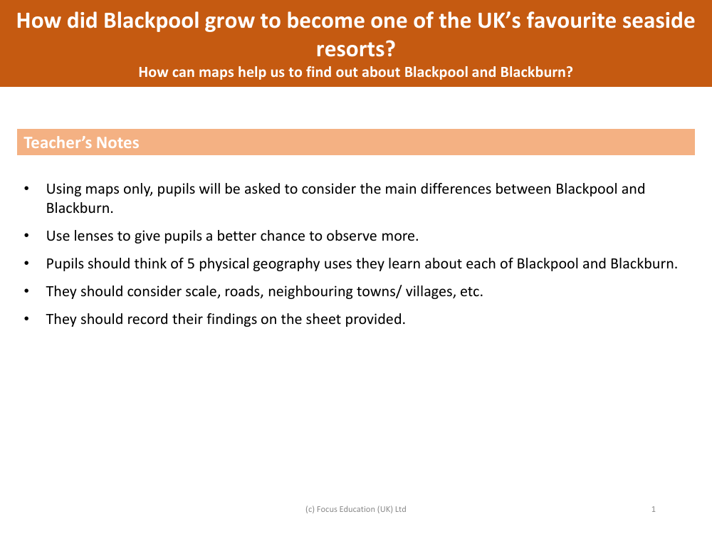
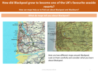
Maps serve as a valuable educational tool, providing a wealth of information about different locations, including Blackpool and Blackburn. By examining maps, pupils can identify and compare key features of these two distinct places. The task involves using maps exclusively to discern the primary differences between the coastal town of Blackpool and the inland town of Blackburn. Pupils are encouraged to use magnifying lenses to enhance their observation skills and ensure they can see finer details on the maps.
With a focus on physical geography, pupils are expected to identify five specific aspects of Blackpool and Blackburn, such as landforms, bodies of water, and natural features. They will also consider human-made elements like scale, road networks, and the proximity to neighbouring towns and villages. These observations will help them understand how each town is situated within its wider geographical context. All findings should be meticulously recorded on the provided sheets, allowing pupils to methodically document their discoveries. This exercise not only teaches about the geography of Blackpool and Blackburn but also develops skills in map reading and data recording.


