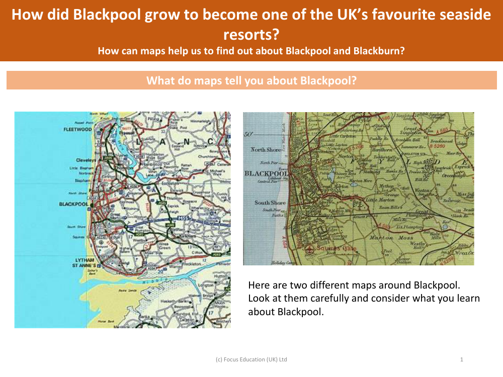
What do maps tell you about Blackpool? - Blackpool - Year 5
Geography Resource Description
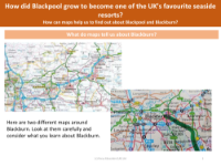
Maps provide a wealth of information about Blackpool, a town that has grown into one of the UK's beloved seaside resorts. By examining maps, Year 5 students can learn about the town's geography, including its location on the coast, the layout of its streets, and significant landmarks. Maps can reveal how the town is organized, where its main attractions are situated, and how it is connected to other places by roads and possibly public transport. Through careful analysis, maps can also give clues about the development of Blackpool over time, showing how it expanded and what factors might have contributed to its growth as a popular holiday destination.
Regarding the educational aspect, maps are an invaluable tool in helping students understand the physical and human geography of Blackpool and the neighbouring town of Blackburn. They can show differences in land use, the density of development, and the natural features that make Blackpool distinctive. By comparing historical maps with contemporary ones, students can trace the town's evolution and understand the changes that have occurred. This exploration can lead to discussions about why Blackpool attracted visitors historically and how it continues to do so today. Maps not only serve as a guide to a place's present state but also as a historical record of its growth and development.