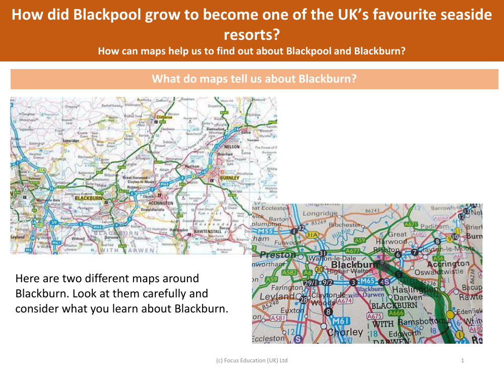
What do maps tell us about Blackburn? - Blackpool - Year 5
Geography Resource Description
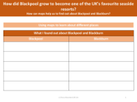
Maps serve as a valuable resource for understanding the geographical and infrastructural layout of a place, and in this case, they provide insights into the town of Blackburn. By examining different maps of Blackburn, Year 5 students can learn about the town's key features, such as its roads, landmarks, natural features, and the distribution of residential and commercial areas. The maps may also reveal historical elements, patterns of urban development, and how the town is connected to other places. Careful observation of the maps can help students deduce various aspects of Blackburn's character and how it functions as a community.
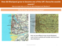
Similarly, maps can be instrumental in tracing the growth of Blackpool as one of the UK's favourite seaside resorts. They can highlight the town's evolution over time, showing the expansion of its tourist attractions, transportation networks, and accommodation facilities. By comparing historical and contemporary maps, students can see the changes that have occurred and understand the factors that contributed to Blackpool's popularity. Maps can also provide clues about the similarities and differences between Blackpool and Blackburn, offering a comparative perspective on the development of the two towns.