Orienteering Jargon Buster - Outdoor and Adventurous Activities
Physical Education Resource Description
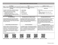
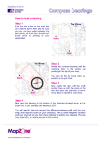
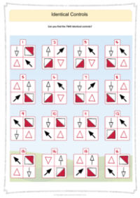
Orienteering is an outdoor activity that combines navigation with running or walking. To assist participants in understanding the specific terms used in the sport, a jargon buster is provided. The term 'Bearing' refers to the use of a compass to determine the correct direction to travel. 'Checkpoint' or 'Control' is a designated location on the map that participants must visit. Courses are differentiated by 'Colour coding', which signifies the length and difficulty, ranging from white for the easiest and shortest, all the way to black for the most difficult and longest. 'Control code' is a unique identifier that participants must record to prove their visit to a control, often accompanied by a 'Punch', which is a physical marking on their record sheet.
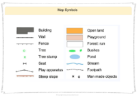
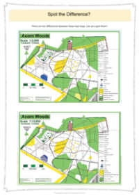
Each control point is assigned a 'Control number', and they must be visited in sequence. The 'Finish' is indicated on the map with a double circle, while the 'Start' is marked with a triangle. A 'Flag' or 'Kite' is a fabric marker found at each control. The 'Leg' is the segment of the course between controls. 'Scale' is crucial for understanding map distances, with common scales being 1:10,000 or 1:15,000. Participants keep a 'Score card' to record control codes, which is submitted at the event's conclusion. 'Splits' are the times recorded between controls. 'Technical Difficulty' (TD) rates courses from 1 (easiest) to 5 (hardest). There are also special events such as 'SCORE', where participants find as many controls as possible within a set time, and 'RELAY', where teams complete courses in succession with their total time determining their score.
