How do we use a local map to find the streets around the school? - Presentation
Resource
Geography
Kindergarten
Premium
Focus Education
Geography Resource Description
Editable presentation
How do we use a local map to find the streets around the school? - Presentation' is a resource from 'What is an address and postcode, and why are they important? ', a Kindergarten Geography lesson from the unit My local area. This lesson uses an enquiry-approach method, and will facilitate students answering the question 'What is an address and postcode, and why are they important? '
Explore other content in this scheme
Part of a lesson by Focus Education
Other resources in this lesson
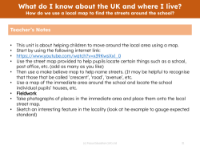
How do we use a local map to find the streets around the school? - Teacher notes
Resource
Geography
Kindergarten
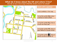
Symbols on a map
Resource
Geography
Kindergarten
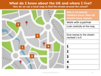
Name streets on a map - Worksheet
Resource
Geography
Kindergarten
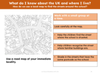
Find my school on a map - Worksheet
Resource
Geography
Kindergarten
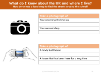
Take a photograph of things in my local area - Worksheet
Resource
Geography
Kindergarten
This website uses cookies to enhance the user experience.
To get more information about these cookies check our

