Locate on a map - Mountains of the UK
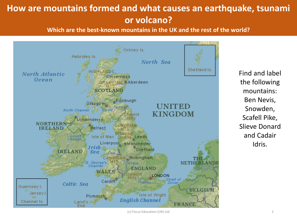
When tasked with locating and labelling mountains in the UK, one would need to identify the positions of Ben Nevis, Snowdon, Scafell Pike, Slieve Donard, and Cadair Idris on a map. Ben Nevis stands as the tallest peak in the British Isles and is situated in the Scottish Highlands. Snowdon, the highest mountain in Wales, is located in Snowdonia National Park. Scafell Pike, the highest mountain in England, is part of the Lake District National Park. Slieve Donard, the tallest peak in Northern Ireland, is nestled within the Mourne Mountains. Lastly, Cadair Idris is found in the southern part of Snowdonia National Park in Wales.
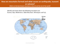
Mountains are typically formed through the movements and collisions of Earth's tectonic plates. These geological processes can also lead to natural disasters such as earthquakes, tsunamis, and volcanic eruptions. Earthquakes occur when the energy from moving plates is suddenly released, causing the ground to shake. Tsunamis are large, powerful waves often triggered by undersea earthquakes, while volcanoes erupt when magma from beneath the Earth's crust breaks through the surface. The best-known mountains in the UK include the aforementioned peaks, while internationally renowned mountains such as Mount Everest, K2, and Mount Kilimanjaro are celebrated for their impressive heights and challenging climbs.