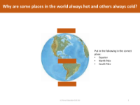
Connecting images - Equator, South Pole and North Pole
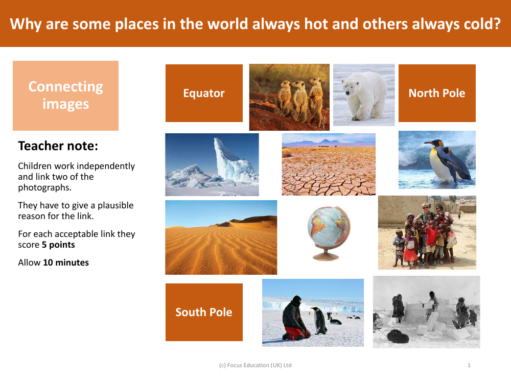
In this educational activity, children are encouraged to work independently to discern and articulate connections between two seemingly disparate photographs: one of the Equator, and the others of the North and South Poles. The objective is for the students to examine the images and provide a plausible reason for how they might be linked. This task not only tests their geographical knowledge but also stimulates critical thinking as they explore the characteristics that tie these distinct locations together. For each valid connection identified and justified, the students are awarded 5 points, turning the exercise into a fun and competitive learning experience. The activity is designed to last 10 minutes, providing a quick and engaging way for children to consider why climatic differences exist between various places on Earth.
The broader educational goal of this exercise is to prompt students to think about the Earth's geography and how it influences climate. By comparing the Equator with the North and South Poles, students can explore fundamental concepts such as latitude, solar radiation, and the tilt of the Earth's axis. These factors contribute to the perennial warmth experienced at the Equator and the perpetual cold at the poles. This activity not only reinforces geographic and scientific understanding but also encourages students to make logical deductions based on observable evidence. It serves as a stepping stone to deeper discussions about global climate patterns and the environmental factors that govern them.