How can you use maps and the globe to locate the equator, the North Pole and the South Pole? - Teacher notes
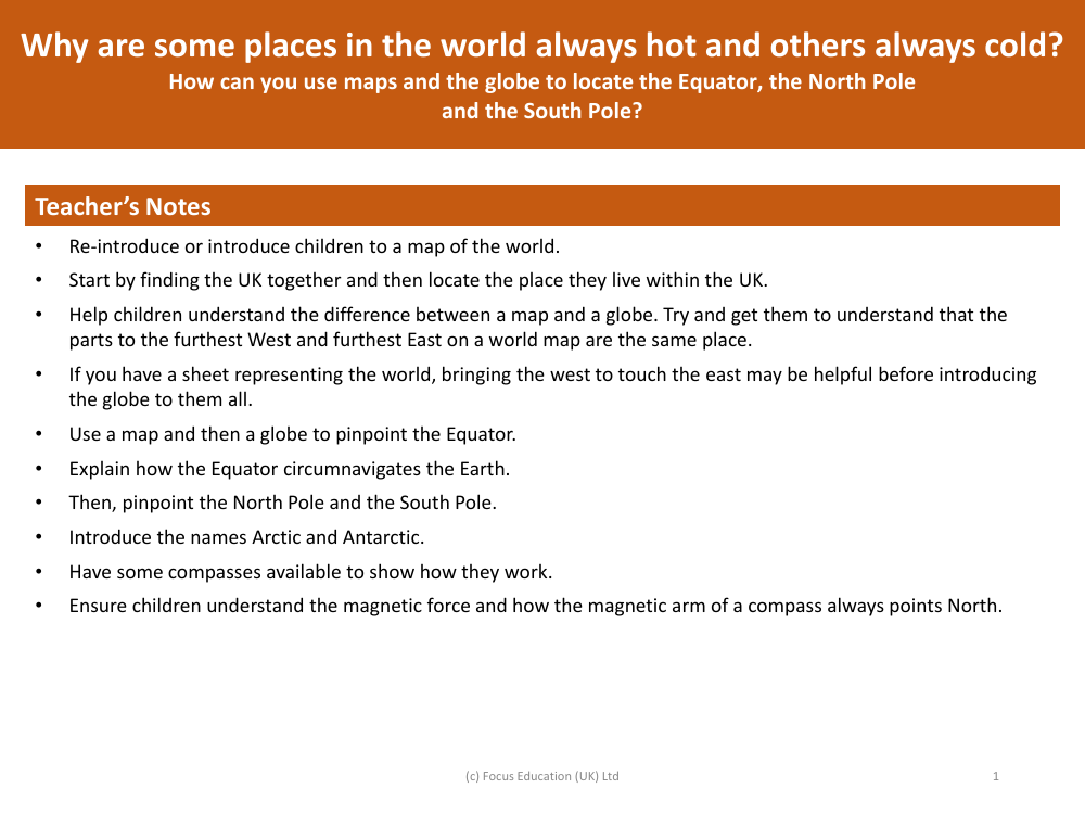
To help children understand the layout of the Earth and the location of key geographical markers, teachers can use both maps and globes as visual aids. The lesson would typically start by identifying the United Kingdom on a world map, followed by locating the specific area within the UK where the children live. This provides a familiar starting point for the students. The teacher would then explain the difference between a map and a globe, emphasizing that a map is a flat representation of the world, while a globe is a three-dimensional model that more accurately depicts the Earth's shape.
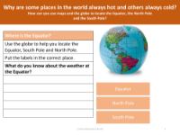
It's important for the children to grasp that the edges of a world map, which show the furthest West and East points, actually represent the same location. Demonstrating this by bringing the edges of a world map sheet together can be an effective visual cue before moving on to the globe. Once the globe is introduced, the teacher can point out the Equator, explaining that it is an imaginary line that circles the Earth, dividing it into the Northern and Southern Hemispheres. Following this, the North Pole and the South Pole can be located at the top and bottom of the globe, respectively. The terms 'Arctic' and 'Antarctic' are also introduced as the regions around the North and South Poles. To further the lesson, compasses can be used to show magnetic orientation, with an explanation of how the magnetic needle always points towards the magnetic North, helping in navigation and understanding why some places are perpetually hot or cold due to their location relative to the Equator and the poles.