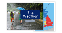
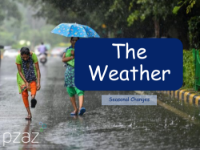
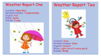
The Weather - Map of GB
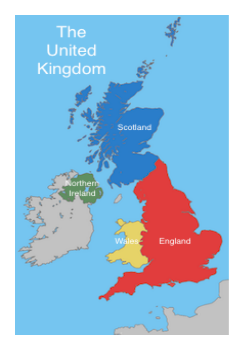
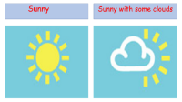
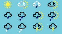
The Weather Map of Great Britain is a visual representation that provides an overview of the current weather conditions across the region. It typically includes symbols and colour coding to denote different weather phenomena such as sunshine, clouds, rain, or snow. The map may also display temperature variations, with warmer and cooler areas clearly marked, allowing viewers to quickly grasp the weather forecast for various parts of Great Britain. This tool is particularly useful for planning outdoor activities, travel, or understanding how weather patterns might affect daily life.
Weather maps are regularly updated to reflect the latest meteorological data, ensuring that the information presented is timely and accurate. They are an essential resource for meteorologists, who interpret the data to provide weather predictions, as well as for the general public, who rely on these forecasts to make informed decisions. Whether it's a sunny day in the south, scattered showers in the Midlands, or a frosty morning in the Scottish Highlands, a Weather Map of Great Britain offers a comprehensive at-a-glance summary of the nation's weather conditions.